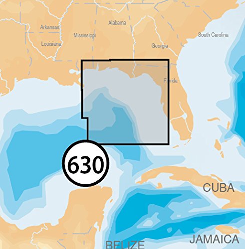
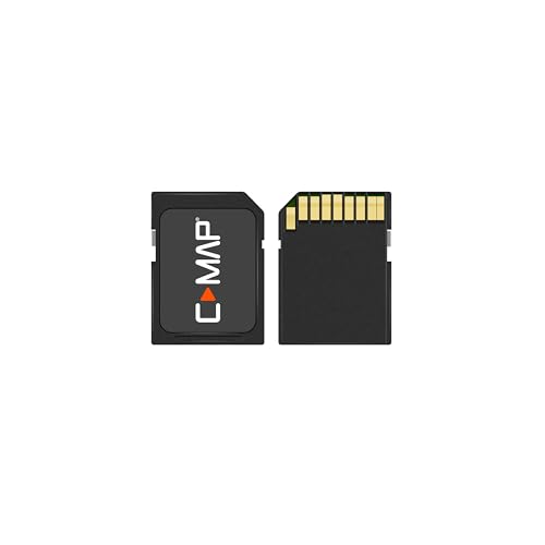
Navionics Platinum Plus 630P+ East Gulf of Mexico Marine Charts on SD/MSD


Key features
- •Max detailed charts for cruising, fishing and sailing, plus 3D View, satellite overlay and panoramic port photos all in one.
- •Includes SonarChartTM 1 foot HD bathymetry map that reflects ever changing conditions, and downloadable Community Edits, valuable local information added by millions of Navionics Boating app users.
- •Get the most current charts every day with daily updates for one year.
- •Coverage area includes marine charts from Venice, FL to Biloxi, MS.
BrandNavionics
CategoryCharts & Maps
Navionics Platinum Plus 630P+ East Gulf of Mexico Marine Charts on SD/MSD
List Price: $217.92$196.13DEALYou Save: $21.79 (10%)
Free shippingFree Returns – 30 daysFree Order CancellationSecure Payment2–3 Days DeliveryGet It June 24, 2026In Stock (28)No marketing spamNo account requiredFulfilment by FedEx / Amazon / UPS / ShipwirePayPal / Card Buyer Protection
Related products


C-MAP Reveal - US Lakes North Central, Map Card for Marine GPS chartplotters
List: $260.45$234.41DEAL