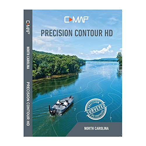
C-MAP M-NA-Y704-MS Max-N+, Precision Contour HD, North Carolina
Key features
- •Accurate, up-to-date Vector chart detail including depth areas and contours, spot soundings, naiads, light sectors, wrecks/obstructions, small craft FACILITIES and more.
- •Dynamic raster charts, for a "paper chart" Look
- •High resolution satellite imagery
- •High resolution bathy fishing charts and data
- •3D view, custom shaded areas and aerial photos
C-MAP M-NA-Y704-MS Max-N+, Precision Contour HD, North Carolina
List Price: $192.21$172.99DEALYou Save: $19.22 (10%)
Free shippingFree Returns – 30 daysFree Order CancellationSecure Payment2–3 Days DeliveryGet It June 23, 2026In Stock (10)No marketing spamNo account requiredFulfilment by FedEx / Amazon / UPS / ShipwirePayPal / Card Buyer Protection

![Garmin ECHOMAP UHD2 53CV Chartplotter/Fishfinder with US Inland Maps and GT20-TM [010-02590-51]](https://m.media-amazon.com/images/I/41MjeO1fmIL._SL500_.jpg)


![Garmin ECHOMAP UHD2 74CV Chartplotter/Fishfinder with US Coastal Maps and GT20-TM [010-02595-51]](https://m.media-amazon.com/images/I/51X3xlEl41L._SL500_.jpg)

