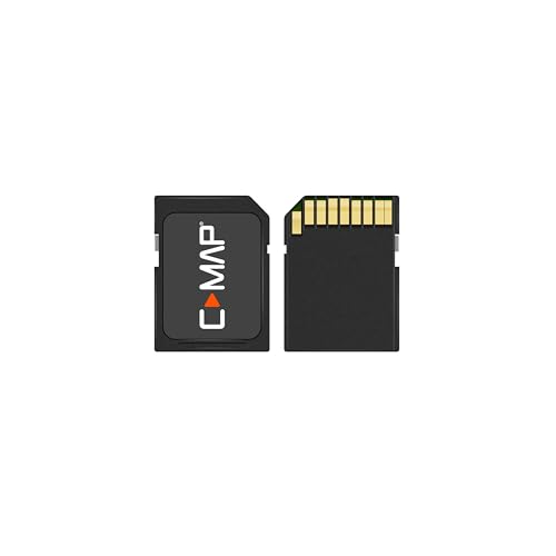
C-MAP Reveal - US Lakes South East, Map Card for Marine GPS chartplotters

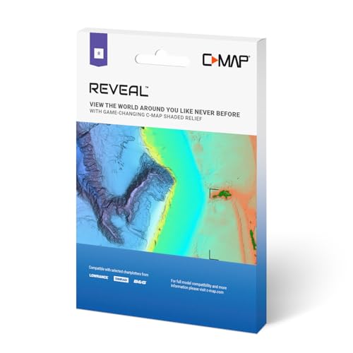
Key features
- •SHADED RELIEF: Bring the world around you to life, with 3D rendered land and underwater elevation – including areas of Ultra-High-Res Bathymetric imagery – a game-changer for anglers and divers.
- •FULL-FEATURED VECTOR CHARTS: Making navigation easy by giving you accurate, up-to-date vector chart detail derived from official Hydrographic Office information.
- •HIGH-RES BATHY: Helps you identify shallow areas, drop-offs, ledges, holes or humps. Now includes compiled and quality-controlled Genesis detail as part of singular HRB layer.
- •CUSTOM DEPTH SHADING: Set a clear safety depth, maintain a paper-like view or create your own custom shading.
- •EASY ROUTING: Helps you automatically plot the shortest, safest route based on detailed chart data and your personalized vessel information. No subscription required.
C-MAP Reveal - US Lakes South East, Map Card for Marine GPS chartplotters
List Price: $280.44$252.40DEALYou Save: $28.04 (10%)
Free shippingFree Returns – 30 daysFree Order CancellationSecure Payment2–3 Days DeliveryGet It June 23, 2026In Stock (2)No marketing spamNo account requiredFulfilment by FedEx / Amazon / UPS / ShipwirePayPal / Card Buyer Protection

![Garmin ECHOMAP UHD2 53CV Chartplotter/Fishfinder with US Inland Maps and GT20-TM [010-02590-51]](https://m.media-amazon.com/images/I/41MjeO1fmIL._SL500_.jpg)


![Garmin ECHOMAP UHD2 74CV Chartplotter/Fishfinder with US Coastal Maps and GT20-TM [010-02595-51]](https://m.media-amazon.com/images/I/51X3xlEl41L._SL500_.jpg)

