New England Physical Map - 24 x 16 inches – Paper Laminated


Key features
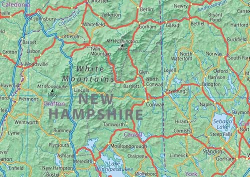
- •Our Physical state map of New England includes six states in the Northeast US: Maine, Vermont, New Hampshire, Massachusetts, Rhode Island, and Connecticut. With cities such as Boston, Worcester, Providence, Springfield, Massachusetts, Manchester, New Hampshire, Providence, Rhode Island, Bridgeport, New Haven, and Stamford, New England is bordered to the west by the state of New York and features the northern reach of the Appalachian Mountains and multiple rivers, including the Connecticut River.
- •This physical map of New England captures the region's diverse landscape. With its clear text, the map provides a truly immersive experience in exploring and appreciating the beauty of this historic corner of the US. It's perfect for any room, office, or school, and a great way to gain a comprehensive view of the State!
- •Size 24 x 17 inches.
- •Printed onto high-quality paper and laminated for durability.
New England Physical Map - 24 x 16 inches – Paper Laminated
List Price: $57.60$51.84DEALYou Save: $5.76 (10%)
Free shippingFree Returns – 30 daysFree Order CancellationSecure Payment2–3 Days DeliveryGet It June 22, 2026In Stock (1)No marketing spamNo account requiredFulfilment by FedEx / Amazon / UPS / ShipwirePayPal / Card Buyer Protection


