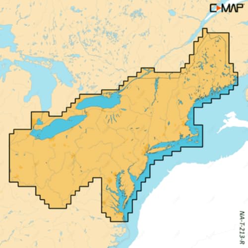
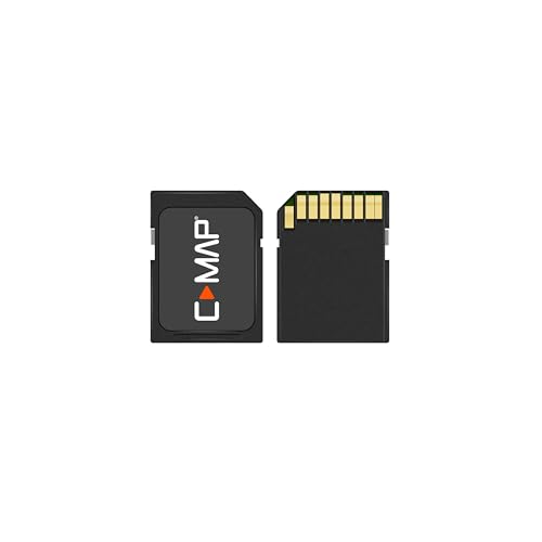
C-MAP Reveal X - US Lakes South Central, Map Card for Marine GPS chartplotters


Key features
- •FULL- FEATURED VECTOR CHARTS: Making navigation easy by giving you accurate, up-to-date vector chart detail derived from official Hydrographic Office information
- •HI-RES BATHYMETRY LAYER - Helps you identify shallow areas, drop offs, ledges, holes or humps. Now includes the very best of C-MAP HRB data, with integrated Genesis social map data
- •SUBSCRIPTION-FREE AUTOROUTING - Automatically plot the shortest, safest route based on detailed chart data and your personalized vessel information
- •SHADED RELIEF: Bring the world around you to life, with 3D rendered land and underwater elevation – including areas of Ultra-High-Res Bathymetric imagery – a game-changer for anglers and divers
- •CUSTOM DEPTH SHADING: Set a clear safety depth, maintain a paper-like view or create your own custom shading
- •COMPATIBILITY: This REVEAL X Chart is only compatible with the latest Simrad and B&G chartplotters running NEON
C-MAP Reveal X - US Lakes South Central, Map Card for Marine GPS chartplotters
List Price: $257.54$231.79DEALYou Save: $25.75 (10%)
Free shippingFree Returns – 30 daysFree Order CancellationSecure Payment2–3 Days DeliveryGet It June 23, 2026In Stock (30)No marketing spamNo account requiredFulfilment by FedEx / Amazon / UPS / ShipwirePayPal / Card Buyer Protection
Related products


C-MAP Reveal - US Lakes North Central, Map Card for Marine GPS chartplotters
List: $260.45$234.41DEAL